Planning a cross-province adventure? Check out the Ontario Parks Driving Routes.
This route will take you to a few of the hidden gems of the Ontario Parks system. You’ll stop in parks containing some of the richest history that Ontario has to offer.
This version of the North of Algonquin route starts out in Toronto. You’ll start out with a day-visit to the famous Algonquin Highway 60 corridor, and then hop off the beaten path for the rest of your journey.
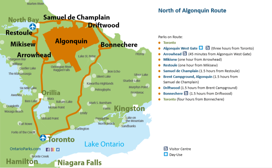
Parks along this route:
There are eight stops along this route. We hope you’ll visit them all, but if your time is limited, must-see parks along the route are designated with a *.
Stop #1: Algonquin Provincial Park, Highway 60 corridor *

Driving time: Algonquin’s West Gate is three hours from Toronto. You’ll drive north on Highways 400 and 11, then east on Highway 60.
The park: For visitors, the Highway 60 Corridor of Algonquin Provincial Park offers a Visitor Centre, Logging Museum, campgrounds, paddling access points, and interpretive walking trails, as well as park lodges and outfitters.
Start with a day visit here before exploring some of the hidden gems of this area.
Stop #2: Arrowhead Provincial Park *
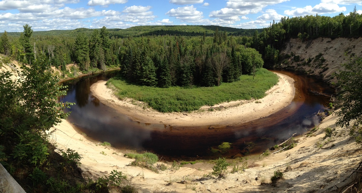
Driving time: Turn around and drive west on Highway 60 to Huntsville, then north to Arrowhead for a trip time of 45 minutes.
The park: Nestled in the heart of Muskoka, this gem is known for scenic photo spots. Walk down to a pretty waterfall or rent a mountain bike and try one of Arrowhead’s designated trails.
In the 1870s, the area that is today Arrowhead was cleared by homesteaders. Explore the remnants of what they left behind on the Beaver Meadow Trail — old fence lines, building foundations, abandoned fields, and more.
Stop #3: Mikisew Provincial Park *
Driving Time: Mikisew is one hour north of Arrowhead, off Highway 11 (and some side roads).
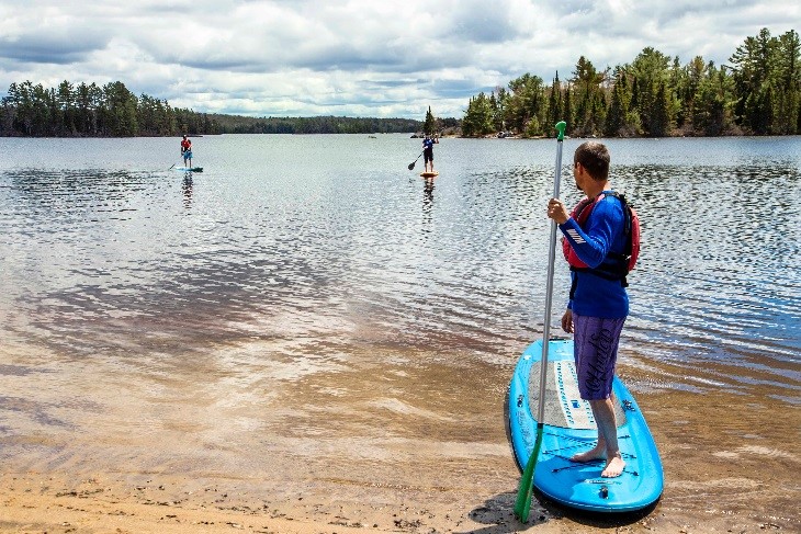
The park: The name Mikisew means means “eagle” in Anishinaabemowin, and the park lies on the shores of scenic Eagle Lake. Try one of the park’s many hiking trails and see a beaver wetland and discover some of area’s Canadian Shield’s bedrock.
The day-use beach is home to the park’s leash-free dog exercise area and beach. Make sure you try Mikisew’s new 18-hole disc golf course!
Stop #4: Restoule Provincial Park *
Driving time: Make your way back to Highway 11, then drive north to Trout Creek. Then, drive northwest on Highways 522, 524, and 534 to Restoule. This should take you just over one hour.
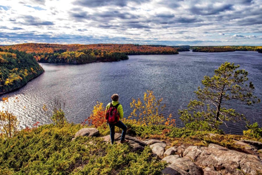
The park: Paddle from Restoule’s access point on Stormy Lake down to Scotts Dam for a picnic lunch next to the rapids below. The portage around the rapids is an ancient trail, traveled for millennia by the people of the Nipissing Nation, who still live on the shores of Lake Nipissing.
The iconic Fire Tower Trail takes you high above Stormy Lake, and the edge of its 100 m bluff, to a gorgeous panoramic view. A historic fire tower (one of the last still standing in Ontario) sits atop the hill, once used to spot forest fires.
If you’re interested in experiencing the park on two wheels, check out Restoule’s biking trails!
Stop #5: Samuel de Champlain Provincial Park *
Driving time: Make your way back to Highway 534, then follow it northeast to Highways 654 and 94 until you reach Highway 17. From there, you’ll drive east to Samuel de Champlain for a total trip time of 1.5 hours.
The park: The Mattawa River was an important trade and travel route for thousands of years, first for the Anishinabek and later for Europeans.
Today, park visitors can relive a part of Canada’s history though Samuel de Champlain’s Voyageur Adventure Tours. You will don voyageur garb and travel back in time past jaw-dropping natural scenery to the golden age of fur trading. (note: currently not available due to Covid-19).
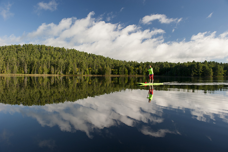
Paddlers love this park! Long Lake offers scenic cliffs and solitude, while Moore Lake and the upriver section of the Amable du Fond River provide excellent wildlife viewing. You can pick up a canoe or SUP rental at the park store.
Stop #6: Brent Campground, Algonquin Provincial Park
Driving time: From Samuel de Champlain, Algonquin’s Brent Campground is 1.5 hours away east (turn right off Highway 17 onto Brent Rd).
The park: Brent Campground occupies Algonquin’s lesser-known northern side.
Here, you’ll have the opportunity to explore Brent Crater Trail. It will take you to the spot where a meteor crashed into Earth thousands of years ago.
Eight interpretive sites relate some of the geological and historical significance of this unique feature.
Stop #7: Driftwood Provincial Park
Driving time: Drive back to Highway 17 and follow it east to Driftwood; this will take you 1.5 hours.
The park: The Upper Ottawa Valley and Laurentian Hills are renown for their scenic landscapes. Hills, waterways, and pristine forest vistas abound in the area.
Driftwood Provincial Park is the best place to experience what this historic region has to offer. Hiking trails, including the Oak Highland Trail, climb to panoramic views of the Ottawa River sure to wow you as they once wowed First Nations paddlers and European voyageurs.
Stop #8: Bonnechere Provincial Park *
Driving time: This will take 1.5 hours. Continue southeast on Highway 17 to County Road 26. Follow that south to County Road 58, then west to Bonnechere.
The park: One of the Ottawa Valley’s hidden gems, your family will fall in love with Bonnechere.
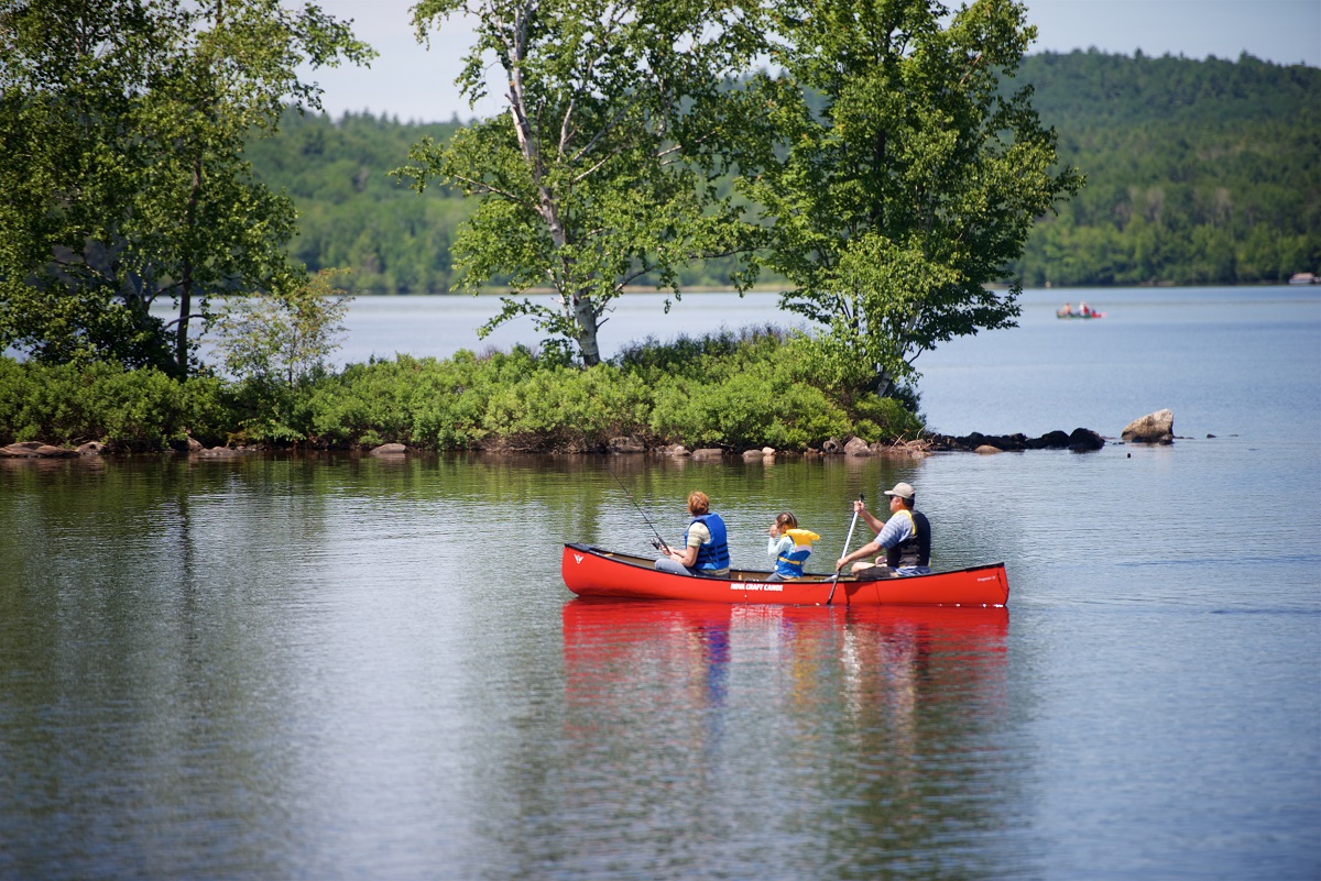
Explore the quiet Bonnechere River, a great spot for introducing little ones to paddling. The park rents kayaks, canoes, and stand-up paddleboards that can be picked up right at the boat launch.
From Bonnechere, Toronto is a four hour drive southwest.
Ontario’s history awaits your discovery!
Total driving time: 15.75 hours
Estimated trip duration (full route): 7-15 days
Estimated trip duration (highlights only): 5-10 days
